
MCKENZIEPR
MCKENZIE PROD MCKENZIE BWCA MAP #08
MCKENZIE PROD MCKENZIE BWCA MAP #08
Fast & Free Shipping Eligible
🚚 Ship to Home Available (Shipping Info)
🛍️ In-Store Pickup Available (Store Info)
Precision Navigation: McKenzie BWCA Map #08
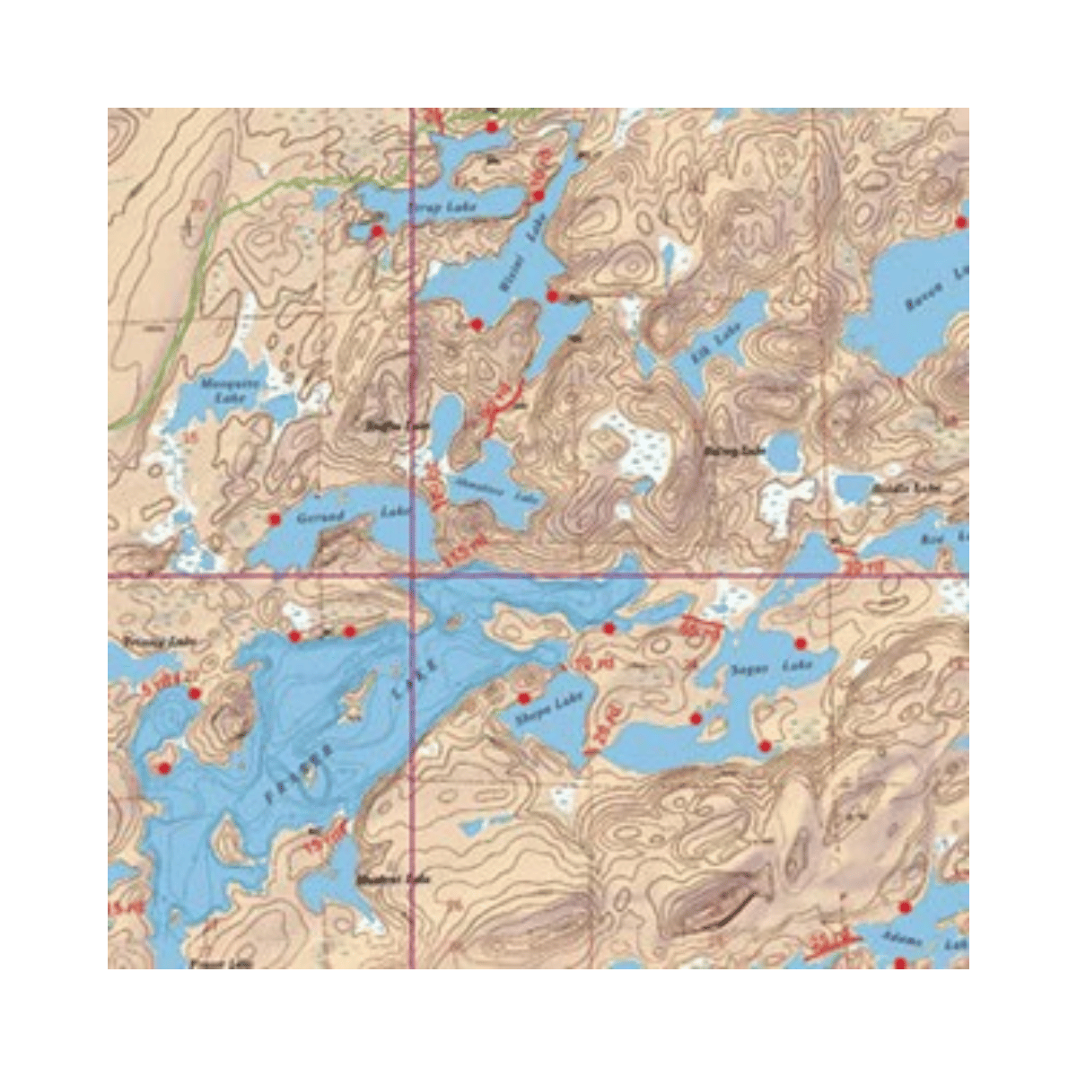
The McKenzie BWCA Map #08 is a high-detail topographic navigation tool specifically designed for the Boundary Waters Canoe Area Wilderness and Quetico Provincial Park. Known for their exceptional accuracy and specialized focus on the eastern regions of the BWCA, McKenzie maps are the gold standard for paddlers, anglers, and backcountry trekkers. This map provides the critical data needed to navigate complex lake systems, find remote portages, and identify established campsites with total confidence.
Key Features:
- Enhanced Topographic Detail: Features clear contour lines and shaded relief to help you visualize terrain elevation, ridges, and low-lying marshes.
- Accurate Portage Information: Clearly marks all portage locations with precise distances measured in rods, ensuring you are prepared for the trek between lake systems.
- Campsite Identification: Highlights established, USFS-approved campsites, making it easier to plan daily distances and secure a spot before sunset.
- Fishing-Specific Depth Contours: Provides underwater bathymetry for major lakes, allowing anglers to identify drop-offs, reefs, and potential habitats for walleye or trout.
- Waterproof & Tear-Resistant: Printed on specialized synthetic paper that survives rain, waves, and heavy folding without degrading or losing legibility.
- Grid Coordination: Includes latitude and longitude markers along with UTM grids for seamless integration with GPS units and compass work.
- Large-Scale Clarity: Features a 2" to 1-mile scale, offering superior readability of small islands and narrow channels that smaller-scale maps might overlook.