
MCKENZIEPR
MCKENZIE PROD MCKENZIE VOYAGEURS MAP
MCKENZIE PROD MCKENZIE VOYAGEURS MAP
Fast & Free Shipping Eligible
🚚 Ship to Home Available (Shipping Info)
🛍️ In-Store Pickup Available (Store Info)
The McKenzie Voyageurs National Park Map is a premier, high-resolution topographic tool engineered for navigating the expansive and complex waterways of Minnesota’s only national park. Designed for paddlers, powerboaters, and backcountry explorers, this map provides the granular detail required for safe travel across massive lake systems. Trusted by seasoned explorers, it serves as an indispensable resource for route planning, identifying critical landmarks, and discovering the hidden gems of this unique water-based wilderness.
Key Features:
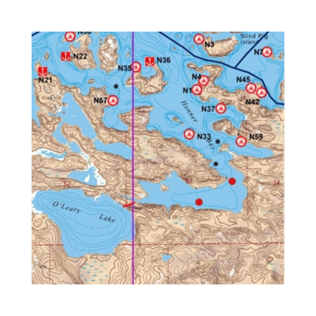
- Superior Topographic Detail: Features precise contour lines and shaded relief to help visualize elevation changes and island terrain.
- Navigation Buoy Markers: Clearly highlights channel markers and navigational aids essential for safe motorized and non-motorized travel.
- Campsite and Houseboat Sites: Pinpoints established campsites and designated houseboat mooring areas throughout the park’s interior.
- Bathymetric Depth Contours: Includes underwater depth markers for major lakes, helping identify safe passage and potential fishing structures.
- Waterproof and Tear-Resistant: Printed on heavy-duty synthetic paper that maintains legibility even when wet or repeatedly folded.
- Grid Coordination: Features UTM and Latitude/Longitude grids for seamless integration with GPS units and traditional compass work.