
GARMIN
GARMIN HUNTVIEW PLUS 25 SD WYOMING
GARMIN HUNTVIEW PLUS 25 SD WYOMING
Regular price
$89.99 USD
Unit price
per
Fast & Free Shipping Eligible
Shipping calculated at checkout.
🚚 Ship to Home Available (Shipping Info)
🛍️ In-Store Pickup Available (Store Info)
The Garmin HuntView Plus 25 SD for Wyoming is a high-precision digital mapping solution engineered for hunters and backcountry explorers who prioritize situational awareness, boundary identification, and reliable off-grid navigation. By integrating comprehensive topographic data with detailed public and private land ownership information, this card organizes your scouting and field-navigation workspace into an accurate, compliant, and highly efficient layout built for navigating the complex terrain of Wyoming.
Key Features
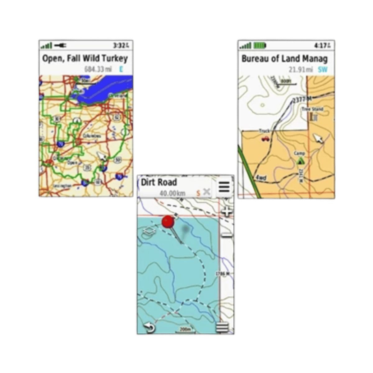
- Comprehensive land ownership data clearly identifies public and private boundaries, providing essential clarity for legal and responsible navigation during hunting seasons.
- Detailed topographic contours deliver high-fidelity terrain mapping, ensuring precise visualization of elevation changes and natural landscape features for better scouting.
- High-resolution satellite imagery enables a detailed view of vegetation, water sources, and terrain types, assisting in the identification of potential wildlife habitats.
- Seamless plug-and-play integration with compatible Garmin handheld devices offers immediate access to critical mapping data without requiring an active internet connection.
- Regularly updated mapping information ensures the most current data regarding access points, trails, and land status are available for your excursions.