VOYAGEURMA
VOYAGEUR BWCA MAP 10
VOYAGEUR BWCA MAP 10
Fast & Free Shipping Eligible
Couldn't load pickup availability
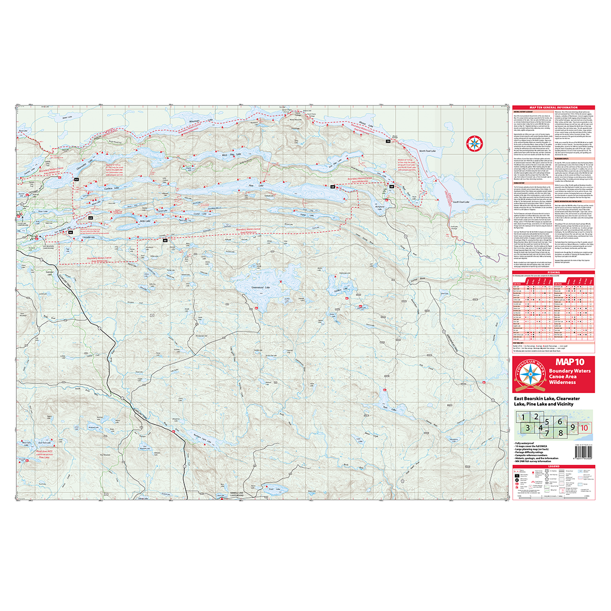
MAP 10 – Far Eastern Boundary Waters
Map 10 covers the far eastern section of the Boundary Waters, stretching along the Canadian border. This area is known for its excellent lake trout fishing and scenic wilderness.
The Border Route Trail runs west to east across the map, offering stunning overlooks and great hiking opportunities.
To the east, near South Fowl Lake, the Pigeon River flows (just beyond Map 10) toward the Grand Portage and into Lake Superior.


