LAKEMAPS/I
LAKEMAPS/ IN DEPTH DELORME ATLAS/GAZETTER NORTH D
LAKEMAPS/ IN DEPTH DELORME ATLAS/GAZETTER NORTH D
Fast & Free Shipping Eligible
Couldn't load pickup availability
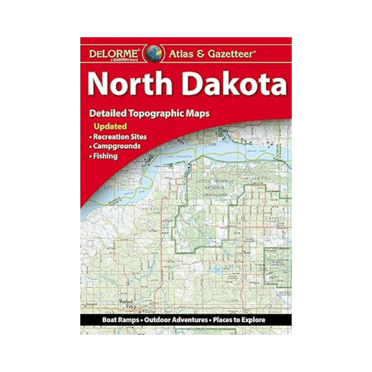
Explore the beauty and wide-open spaces of North Dakota with the DeLorme Atlas & Gazetteer, your ultimate travel and outdoor companion. Featuring full-color topographic maps packed with detail, this atlas helps you find everything from small towns to scenic routes, historic landmarks, and hidden outdoor gems across the state.
Highlights & Features
-
Detailed Exploration – Discover cities, towns, scenic drives, ranches, buttes, historic sites, and recreation areas all in one place.
-
Outdoor Adventure Ready – Locate trailheads, boat ramps, and prime fishing spots for your next camping, hiking, or fishing trip.
-
Easy to Use – Each page includes a latitude/longitude grid, making it simple to navigate using your GPS or compass.
-
Comprehensive & Indexed – Every map is extensively indexed and organized for quick reference, so you can find locations fast.
-
Built for Travelers – Convenient book format makes it easy to carry, read, and plan your trip on the go.
-
City & State Coverage – Includes inset maps for major cities and state lands for complete coverage.
Product Details
-
State: North Dakota
-
Pages: Full-color topographic maps
-
Dimensions: 15.5" × 11"
-
Indexed: Yes
-
GPS-Compatible: Latitude/Longitude grid overlay
-
Available: For all 50 U.S. states


